Waterville: The Course on the Iveragh Peninsula
Waterville's modern layout dates from the 1970s redesign, though the land has held golf since before the First World War. The piece covers the architectural sequence, the course's position on the Ring of Kerry, and its record as a venue.
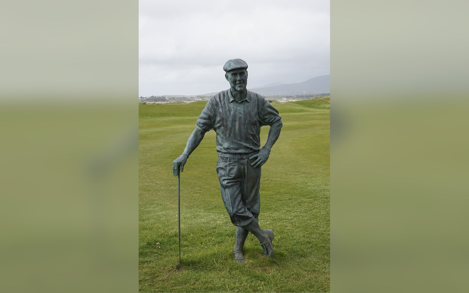
The Iveragh peninsula, at the end of the Ring of Kerry.
Photo: Statue of Payne Stewart at Waterville Golf Links · Wikimedia Commons
A 1970s redesign on ground that has carried golf since before the First World War — Waterville's modern character owes as much to John A. Mulcahy as to the Atlantic.
A Course Remade on Old Ground
Golf at Waterville predates the First World War. The present Waterville Golf Links traces its origins to a layout used in the early twentieth century, when the village on the Iveragh Peninsula — deep inside what the Ring of Kerry road now makes accessible — was still genuinely remote. That early course fell into disuse, and it was the intervention of Irish-American businessman John A. Mulcahy in the 1970s that produced the layout played today. Mulcahy commissioned a redesign, the work eventually credited to Eddie Hackett with contributions shaped by Mulcahy's own strong opinions about what the land could yield. The result opened in 1973.
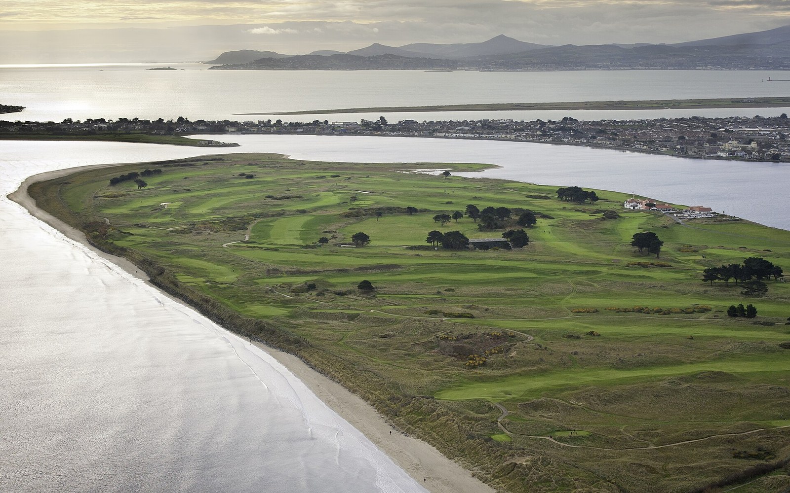
The site is formidable. Waterville Golf Links sits between Ballinskelligs Bay to the south and the Inny estuary to the north, the Atlantic fully present on every exposed hole. The dune system is substantial — ridges run high enough that several greens are hidden from the tee and several tees invisible from the approach — and the sandy subsoil drains fast enough to keep the links firm even after heavy rain. Fescue dominates where the turf has been managed correctly, though the Atlantic wind that shapes every shot here is the condition no greenkeeper can control.
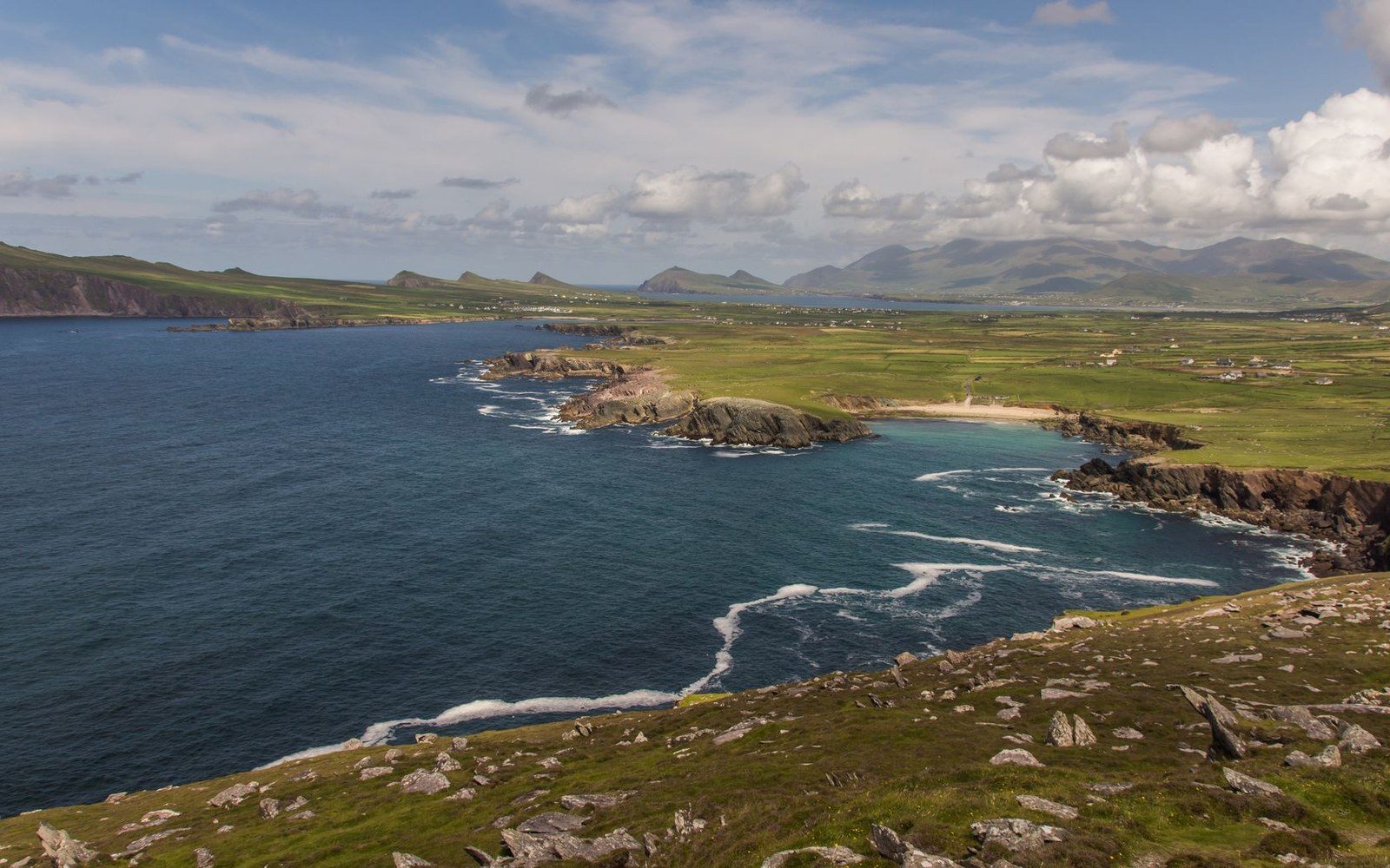
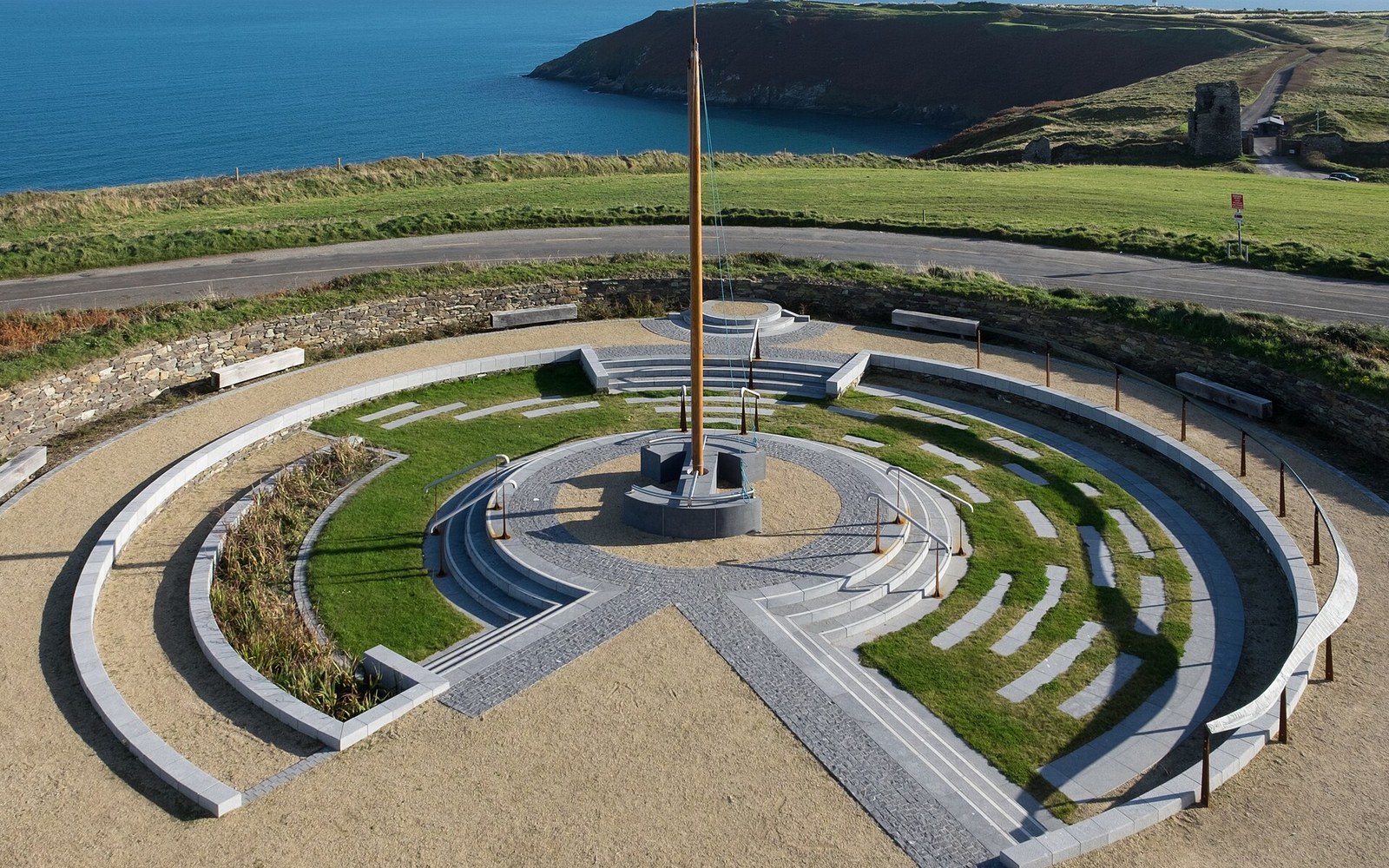
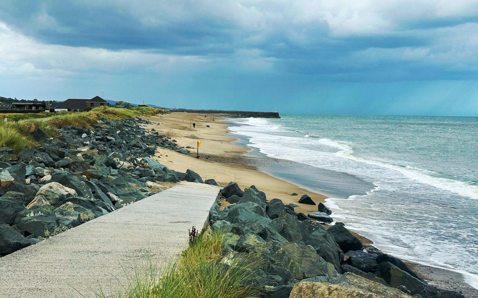
Barrow: cliff-edged, dune-backed, facing the Atlantic. The routing is the geography.
Photo: Lachcim Kejarko / Pexels · Photo: Memorial Garden at the Lusitania Museum & Signal Tower, Old Head, Kinsale · Wikimedia Commons
What the Layout Does
The course runs to just over 7,200 yards from the back tees, a length that post-dates Mulcahy's original project and reflects subsequent extension. The routing makes repeated use of the dune ridges: players climb to exposed plateau tees, descend into sheltered valleys, then climb again. The par-three 17th, known as Mulcahy's Peak, sits on a raised dune promontory with open water visible on two sides — a hole that exists because Mulcahy insisted the land demanded it. The closing holes turn back toward the clubhouse along the estuary edge, where wind direction can shift dramatically from the direction players have faced for the previous twelve holes.
Waterville's championship record is modest compared with Ballybunion or Lahinch. It has hosted professional and amateur events at national level and served as a significant practice venue for visiting American players ahead of The Open, and its Kerry location makes it a natural stop for visiting players, though it has not been a regular Irish Open venue. Its standing rests on the quality of the ground itself: Geological Survey Ireland data documents the Atlantic coast's ongoing erosion pressure across County Kerry, and Waterville's exposed western boundary remains one to watch on that count.