Metres a Decade on the Atlantic Coast
Published erosion-rate data for the Irish Atlantic coast, what a wave scarp does to the angle of repose of a dune face, and why some of the losses on record happened in single storms rather than over decades. Figures attributed to Geological Survey Ireland and published club records.
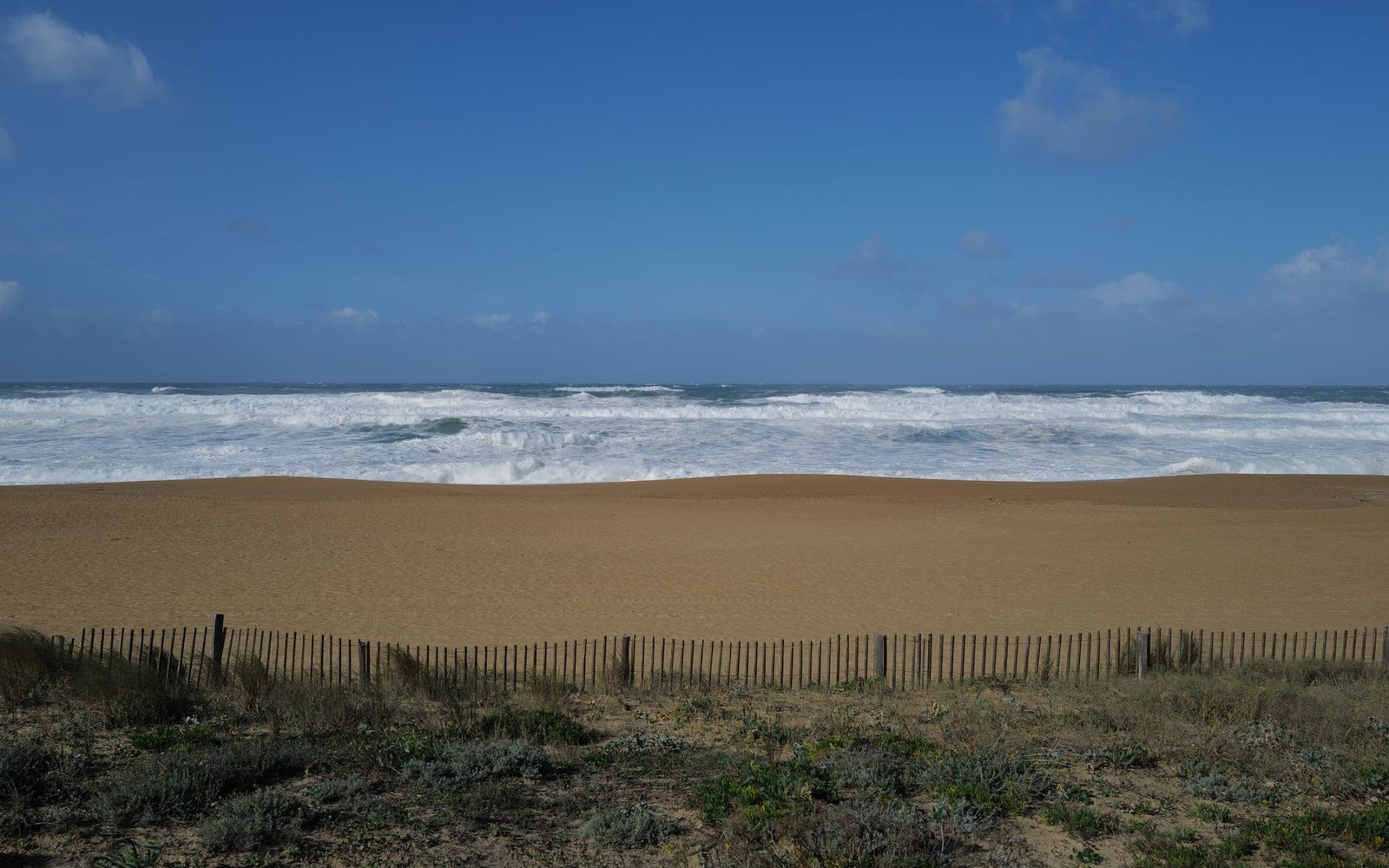
A wave scarp stands steeper than dry sand can hold, and then it does not.
Photo: Thierry Martine / Pexels
The numbers Geological Survey Ireland has put on record
Ireland's Atlantic coast does not erode at a steady, polite rate. The Geological Survey Ireland CCMAR (Coastal Change Mapping and Analysis for Response) project, which assessed shoreline change along the full Irish coastline using aerial photography and LiDAR data, found that significant stretches of the western and northern coast lose ground at rates ranging from under half a metre per year to more than two metres per year on actively eroding dune frontages. Those are decadal averages — the annual headline figure smoothed across ten or twenty years of survey data. What the averages conceal is the event structure underneath them: many of those losses did not accumulate grain by grain over a decade but arrived in a single Atlantic winter.
The distinction matters enormously for anyone reading an erosion rate and translating it into risk for a fairway or a tee. A frontage losing one metre per year on average may have been stable for eight years and then lost eight metres in a single storm sequence. Geological Survey Ireland's coastal change mapping data makes this event structure visible: the abrupt, stepped losses that appear in the aerial-photography record correspond closely with the winter storm series of 2013–14, which caused what the Irish government's OPW subsequently described as the most damaging coastal erosion on record in the state.
What a wave scarp does to the dune face
The mechanism through which a storm converts a stable dune frontage into a retreating one runs through the wave scarp. When wave energy reaches the dune toe — the lowest seaward base of the dune, normally protected by a beach berm — and the berm has been stripped by prior swells, waves cut directly into the dune face. The result is a near-vertical erosion face, often one to two metres high, standing at angles well beyond the natural angle of repose of dry dune sand, which sits at roughly thirty to thirty-four degrees. Wet, wave-scoured sand at the scarp face is temporarily cohesive, held briefly by surface tension. Once the storm tide drops and the face begins to dry, that cohesion disappears. Sand avalanches off the upper dune into the scarp notch; the crest retreats; the geometry of the whole dune ridge shifts landward.
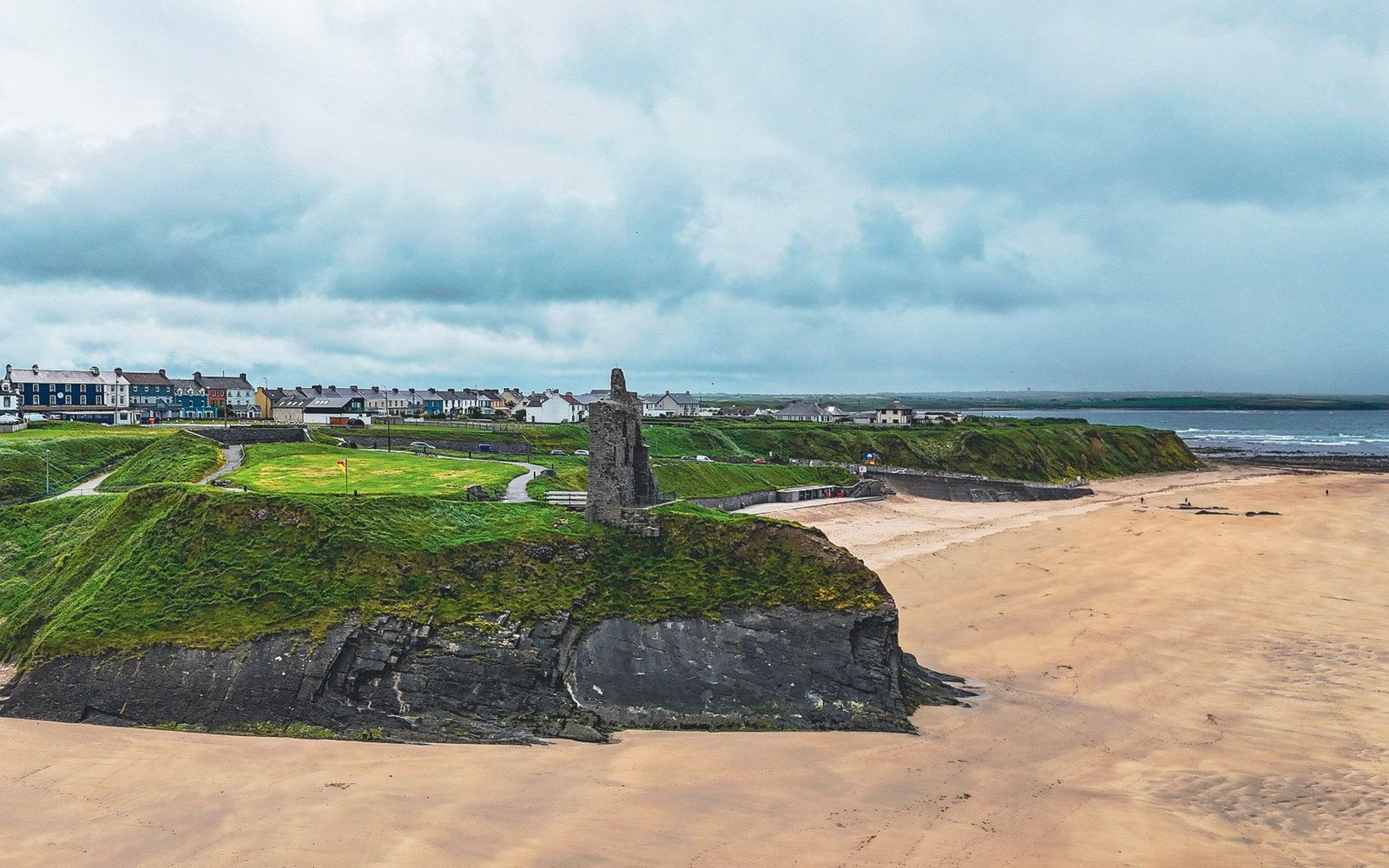
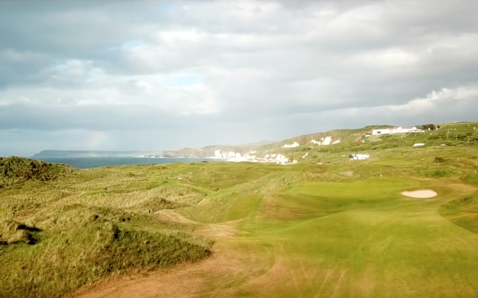
Where the hole used to be. Rock armour buys time and changes the look of a hole permanently. Where it goes in, it goes in because the alternative was losing the hole.
Photo: Dahlia E. Akhaine / Pexels · Photo: Royal Portrush 8th hole · Wikimedia Commons
This process — scarp formation, cohesion loss, crest retreat — is why post-storm surveys consistently record larger losses than the visible storm damage suggested at the time. The wave action cuts the scarp; the drying and gravitational collapse in the weeks following enlarges it. Research published through University College Cork's coastal group and referenced in the OPW's National Coastal Change Assessment confirms that post-storm settlement regularly adds twenty to forty percent to the loss measured immediately after a storm. By the time a club's greenkeeper walks the frontage in spring, the true extent of the winter's retreat has already exceeded what the height of the visible scarp implied in January.
Where marram grass — Ammophila arenaria — has been allowed to colonise the upper dune face, the rhizome network slows the post-scarp collapse significantly. But marram cannot protect the dune toe, and if the scarp cuts deep enough, the root zone of the marram itself is undermined and the binding mat fails.
What the club records show, and what the storms explain
Ballybunion Old Course presents the clearest documented instance of rapid loss on a championship links. The course's seaward holes run along cliff-edged dune ground above the Shannon estuary approaches, and the Ballybunion Golf Club's own maintenance records, supplemented by contemporaneous newspaper accounts and the course's photographic archive, show that meaningful volumes of the cliff edge were lost not over decades but in individual winter periods during the mid-twentieth century. The routing was not laid out on such compressed, cliff-edged ground by accident — the sea was always close — but the rate of cliff recession has accelerated under the combined pressure of more energetic Atlantic storm patterns and reduced sediment supply to the beach at the dune toe.
At Lahinch in County Clare, the exposure is different: a broad north-facing bay in which the dune system is wide enough to have absorbed loss without yet threatening playing ground directly, though the outer dune ridge shows clear evidence of active blowouts and scarp formation visible from the course. The Lahinch Golf Club's records, and the course's repeated structural revisions — beginning with Old Tom Morris in 1892 and revised substantially by Alister MacKenzie in 1927 — document a course that has always negotiated with mobile ground rather than stable terrain.
At Carne in Belmullet, Eddie Hackett's 1990s routing across the massive Mullet Peninsula dune system placed holes on ground that stands exceptionally high above the shore, providing a depth of dune that gives Carne more natural buffer than most Atlantic-facing courses. The dunes there reach heights unusual on the Irish coast, and Geological Survey Ireland's coastal mapping shows the Belmullet frontage as one of the more dynamic but also more volumetrically resilient stretches of the western coast. Loss here is measured in dune shape rather than in the creeping proximity of the sea to a green.
County Sligo at Rosses Point faces the open Atlantic across Sligo Bay, and Geological Survey Ireland's shoreline mapping records this stretch of the Sligo coast as showing ongoing change, particularly on the outer beach ridges. The course's Harry Colt revision of 1927 positioned the routing's most exposed holes on the inland side of the primary dune ridge, a decision that has provided decades of additional margin.
What the data from Geological Survey Ireland consistently shows, across all of these locations, is that the decadal average rate — the single number most often quoted — understates the risk that any given winter represents. A course on Atlantic-facing ground can absorb nine uneventful winters and lose the equivalent of a decade's average in the tenth. The smoothed figure is useful for long-range planning. For a greenkeeper reading a January weather system moving in from the southwest, it tells nothing at all.